
Published July 24, 2026 04:39 pm
The Franconia Ridge is stunning. In the pictures you can see for miles in every direction. The White Mountains of New Hampshire line the horizon beneath a vast expanse of blue sky. It’s a charm with Pemigewasset Loop Where you feel on top of the world.
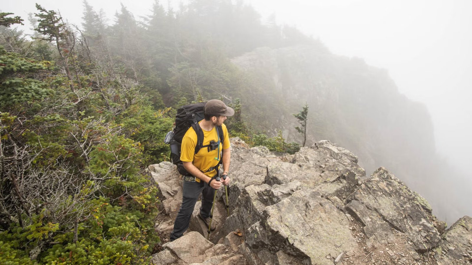
Or so I’ve heard. By the time I reached the famous ridge with its panoramic views, I was actively engulfed by fog, so dense I couldn’t see 20 feet in front of me and the rain didn’t care that my poncho was rated 20,000mm waterproof – it was going to soak my pants, hat and sun shirt anyway.
I walked slowly and painfully down the trail indicated on the map, but presently it was an active creek, full of slippery limestone boulders. I was also hungry and was carrying a packet which was definitely No Ultralight. Add to that the fact that I had recently read stories of hikers disappearing in this very spot amid bad weather, and it was the perfect recipe for panic. It is possible that some abusive words may have been uttered from my side.
Making matters more complicated, I had not studied topographic maps, read trail reviews, or even trained before starting. I was trying this hard to get a 31-mile, 9,000-foot elevation gain straight from the couch.
So it’s safe to say I was a little under prepared. So my grand plan to complete New Hampshire’s iconic Pemigewasset (“Pemi”) Loop in four days turned into a three-day “Semi Pemi” via the conveniently located Franconia Brook Trail, which cuts the loop in half.
Luckily, I learned from my mistakes, and you can too. Here’s what I’ll do differently in my next attempt.
Prepare for steep slopes.
When I started the loop, I had done far more hiking in the Midwest, South, and West than in the Northeast. I knew that the low elevation mountains of the area were not to be taken lightly. However, I was not aware that New England trail builders had apparently never heard of “switchbacks”.
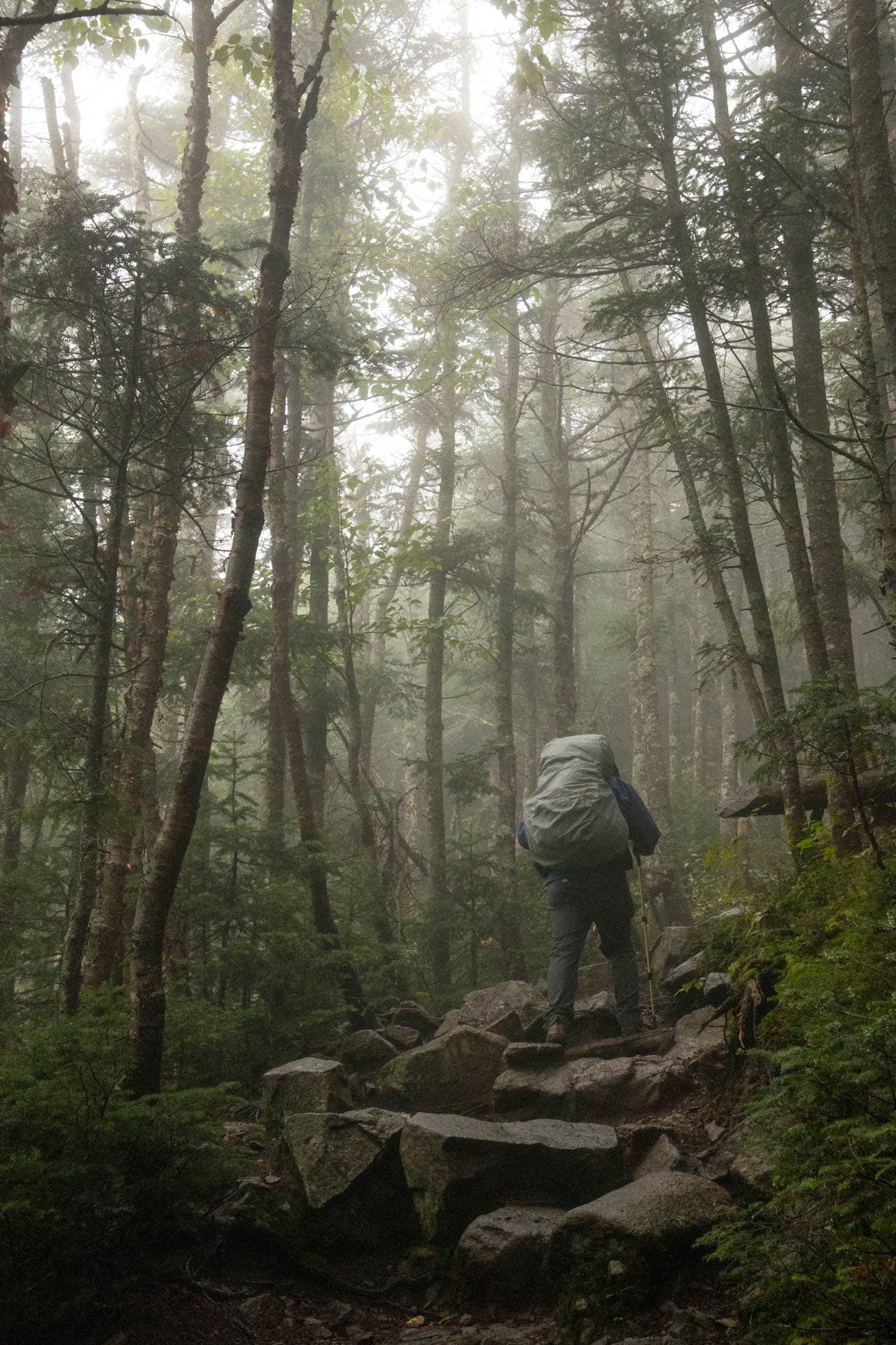
As a result, while I was on what felt like a trail in the midst of an identity crisis (it clearly wanted to be a rocky stream, not a trail), I found myself nervous and whimpering as I climbed up. I was climbing straight up. As I reached the top of a climb, I started grumbling in frustration as I realized I was going down again, before climbing back up after half a mile. Even the seven-mile trek to the first tent site felt long and slow.
Hikers should be prepared to make frequent ascents and descents throughout the day, every day. Advanced training is recommended for the steep climbs.
Pack more calories than you think.
Since the trail was more rugged and steep than I expected, my body was screaming for more calories than it usually needed. Every hour, my stomach would rumble, and I would reach for fruit leather or salted cashews. By the end of the first day, as I took stock of the food I had brought with me, I realized that I would be exhausted long before I reached the end of the journey.
It was this realization that prompted a serious discussion with my husband and backpacking partner. Ultimately, we decided: Semi-Pemi was the only option that made sense.
I learned my lesson about shopping for backpacking food the evening before the trip. Be careful and pack more food than you think you will need.
Be prepared for any kind of weather.
The White Mountains are notorious for unpredictable weather. After all, Mount Washington claims the records for the world’s coldest (-108.4°F) and fastest winds (231 mph). Every year, many travelers are lost or perish within the range. The peaks may not seem high, but they are often just as treacherous as their higher-altitude western cousins.
During my trek, it rained heavily and the fog was so dense that my husband and I remained within 10 feet of each other to avoid losing sight of each other. Cold winds blew. Then the sun came out, causing unbearable humidity. All this happened over three days in late August. Luckily, I brought a rain shell and extra socks, but I still got wet every night. If I had known how extreme the weather changes are in this part of the country, I would have packed more inclement weather gear and possibly rain pants.
Finding a camping site can be a challenge.
Since I was backpacking in the middle of the week at the end of summer, I had no trouble finding a camping spot. However, during the summer or on weekends, plan to get to camp early to get the best spots if you don’t have a reservation. Camping is allowed only at designated sites, but they are thoughtfully spaced, including Liberty Spring, Garfield Ridge, and Franconia Brook.
If you’re willing to pay, the Appalachian Mountain Club (AMC) huts near Galehead Mountain and Mount Lafayette offer indoor overnight options. Those reservations must be made in advance.
What will I do differently next time
Luckily, the Pemigewasset Loop will still be there when I head east to try again. And I will try it. You better believe my legs will be trained for steep climbs, my rain gear will be dialed in, my pack will be ultralight, and I’ll have a surplus of prepared backpacking food and extra snacks.
 (Photo: Alisha McDaris)
Editor’s Note: 2026 Lincoln Woods Trailhead Closure
The Lincoln Woods Trail, which is the standard access route for the Pemigewasset Loop, is currently closed until November 2026. The route has been seriously damaged by several floods over several decades and restoration work is underway. However, according to the United States Forest Service (USFS), the Pemi Loop is still accessible.
The following alternative access routes lead directly to USFS webpage At the Lincoln Woods Trailhead. These alternate routes will take you to the Pemi Loop, although they will impact your total mileage.
- Greenleaf Trail Access – Start and end at the Greenleaf Trail parking lot at the Cannon Tram. Total Loop Mileage-36.2 miles
- Skookumchuck Trail Access – Starts and ends at the Skookumchuck Trail parking lot off Rt. 3. Total Loop Mileage-38.4 miles
- Garfield Trail Access – Starts and ends at Gale River Road at Garfield Tch. * Parking is limited. Mileage-39.4 miles
- Gale River Trail Access – Begins and ends at Gale River Trail at Gale River Road. * Parking is limited. The AMC Hiker Shuttle flies from this location. Total Loop Mileage-37.8
- North Twin Access – Starts and ends at the North Twin Access at Haystack Road. * Parking is limited. Total Loop Mileage-41 miles